The Milltown Dam Removal: How Missoula Got Its Rivers Back
Drive east out of Missoula on Interstate 90 and, a few miles past the edge of town, the highway passes the place where the Blackfoot River pours into the Clark Fork. Today it looks like any other stretch of Montana river: braided channels, cottonwoods, gravel bars, and trails winding along the banks. For about a century, though, this spot was dominated by a dam — and behind it sat one of the most significant environmental problems in the state's history.
The story of Milltown Dam, and of its removal, is one of the defining environmental stories of modern Missoula. It connects the city to the copper boom upstream in Butte and Anaconda, to a groundwater scare that shook a small community, and to one of the most ambitious river restoration projects ever attempted in the West.
The dam was built by William A. Clark, the copper magnate and future U.S. senator, to power his sawmill in nearby Bonner. Construction began in September 1905, and the dam first closed its gates in January 1908. It was a timber-crib hydropower dam set right at the confluence of the Blackfoot and Clark Fork rivers, a few miles upstream of Missoula. Ownership later passed to the Montana Power Company, which bought it in 1929, and eventually to NorthWestern Energy before it stopped generating power in 2006.
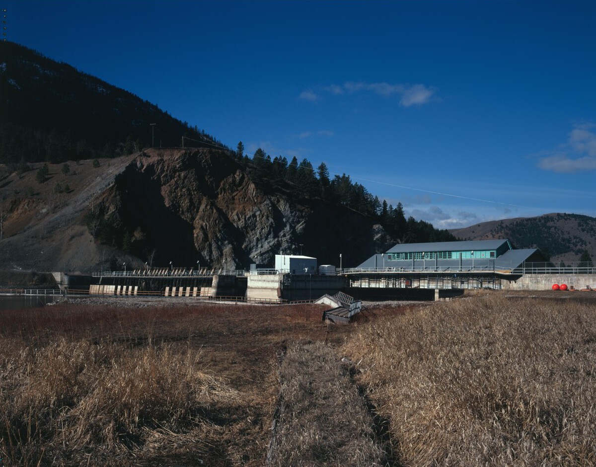
The dam's real legacy was set in motion almost immediately. In 1908, the same year it was completed, the largest flood on record for the upper Clark Fork swept down the river. That flood carried enormous quantities of mining and smelting waste from the Butte and Anaconda districts — the heart of Montana's copper industry — and dropped much of it in the calm water behind the new dam. Over the following decades, about 6.6 million cubic yards of sediment laced with arsenic and heavy metals built up in Milltown Reservoir.
For most of the twentieth century, few people thought much about what was sitting on the bottom of the reservoir. That changed in 1981, when the Missoula City-County Health Department found elevated levels of arsenic in drinking water wells in the community of Milltown, next to the reservoir. The contamination had seeped from the sediments into the groundwater. In 1983, the U.S. Environmental Protection Agency added the site — officially named Milltown Reservoir Sediments — to the Superfund National Priorities List, making it the first site in Montana on the list. A new drinking water system was installed for Milltown residents in 1984.
What to do about the sediments themselves was a much harder question, and it took two decades to answer. One option was to leave the dam in place and try to contain the contamination behind it. But the aging timber-crib structure raised safety concerns, and a major flood could have sent a huge pulse of contaminated sediment downstream through Missoula. In December 2004, the EPA issued its decision: build a bypass channel for the river, remove the dam, and excavate the most contaminated sediments, hauling them by rail to a repository near Anaconda.
In August 2005, the U.S. Department of Justice announced a settlement of more than $100 million involving Atlantic Richfield Company, NorthWestern Corporation, the State of Montana, the Confederated Salish and Kootenai Tribes, and the federal government. Atlantic Richfield — which had inherited liability for the Anaconda Company's mining legacy — agreed to carry out the sediment removal. That November, the smaller Stimson Dam upstream on the Blackfoot River was removed as well.
Excavation began in 2007. The first trainload of sediment left Milltown on October 2, 2007, and the trains kept running for nearly two years, with the last departing on September 24, 2009. Each train had 45 cars carrying about 100 tons apiece, traveling roughly 90 miles by rail to the Opportunity Ponds near Anaconda. In the end, more than 2 million cubic yards of sediment — roughly 3 million tons — were removed from the site. At Anaconda, the material was seeded with vegetation to form a cap over about 800 acres of an older mine waste repository, putting the contaminated sediment back near where much of it had come from.
The moment most Missoulians remember came on March 28, 2008. A week earlier, the Clark Fork had been diverted into its new bypass channel. That Friday, just before noon and almost exactly a century after the dam was completed, crews breached the dam and the river began to flow freely through the site again as hundreds of people watched. Removal of the remaining structure was finished in 2010.
Taking out the dam was only half the job. Engineers and restoration crews then rebuilt the confluence almost from scratch — reshaping river channels, rebuilding floodplains, and planting native vegetation across ground that had been underwater or buried in sediment for a hundred years. The State of Montana contributed nearly $18 million from its Natural Resource Damage fund, including $14.3 million for restoration work. The EPA reports that cleanup construction was completed in 2012, and the Milltown portion of the Superfund site covers roughly 540 acres of floodplain along the two rivers.
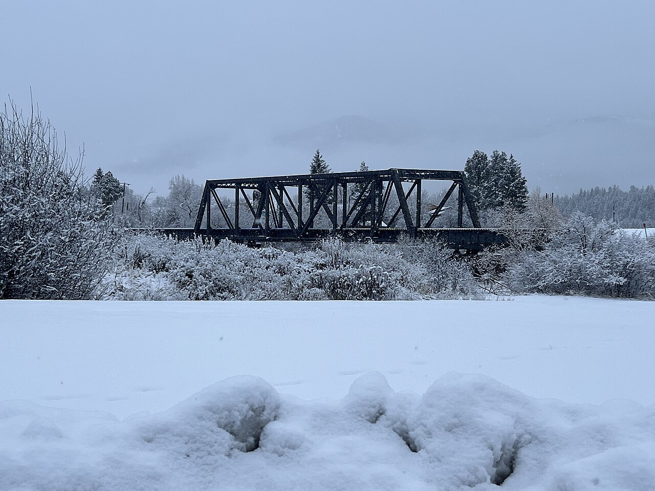
Part of the settlement involved NorthWestern transferring 415 acres of land to the state for a park. That land became the core of Milltown State Park, which opened to the public in 2018 and is managed by Montana Fish, Wildlife & Parks. The park now covers nearly 635 acres, with several miles of river frontage and about three miles of trails spread across its Overlook, Confluence, and Gateway areas. It's a place to fish, float, walk, and watch wildlife on land that, within living memory, was a contaminated reservoir. Conditions can change — parts of the park occasionally close, such as the Overlook area for geologic instability — so it's worth checking Montana Fish, Wildlife & Parks' Milltown State Park page for current access and closures before you go.
The effects reach well beyond the park boundary. With the dam gone, fish can once again move freely between the Clark Fork and the Blackfoot — a river made famous far beyond Montana by Norman Maclean's A River Runs Through It. And for Missoula, just a few miles downstream, the risk of a catastrophic release of contaminated sediment has been removed entirely.
The Milltown story is also a reminder of how closely Missoula's fortunes have always been tied to the rest of western Montana. The copper that built Butte and Anaconda, the timber that fed Clark's sawmill, and the rivers that carried both downstream all converge at this one spot. For a century, that convergence left behind a problem. Today, it's one of the best places in the valley to stand on a riverbank and watch two rivers meet the way they did long before anyone thought to build a dam there.